Sunningdale Visitor Map
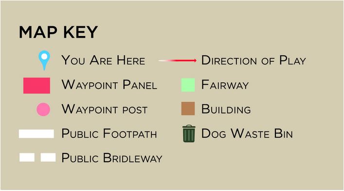
This map shows the layout of the Sunningdale Golf Course, with the route of the Public Footpaths and Public Bridleways marked in white, along with the location of the Halfway House cafe and the bins to deposit dog waste. The map also shows the white-painted Waymarker posts that will help with navigation and orientation.
Please note that all other paths on the Sunningdale Golf Course are private, for use of the club members and staff.
Downloadable Map
If you would like to download this map to your phone in a PDF format, please click on the resource link below.
For additional information about the current status of the Public Footpaths and any scheduled closures for maintenance or security, please click on our newsletter page.